Google Maps Street View Comes to St Croix
When Kirk Thompson first tried to map his business on Google Maps, he realized he had a problem. The tiny Frederiksted side street that had existed for centuries on the island of St Croix didn’t exist according to Google’s business mapping tool. Always up for a good challenge, Kirk decided to take things into his own hands.
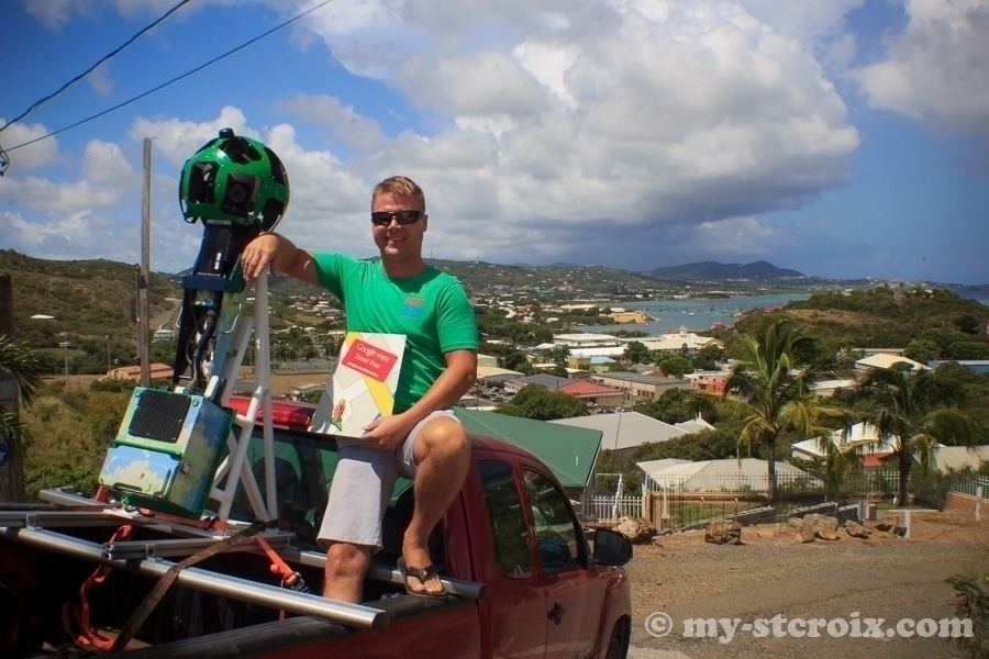
In a former life, Kirk was an analyst in Silicon Valley, so he was no stranger to hi-tech. Trading in his suit and tie for a wet suit and dive gear, he followed his bliss to early “retirement” on the island of St Croix and bought a SCUBA Dive Shop in Frederiksted several years ago. In classic island style, he encountered problems while trying to get his business listed on Google Maps – an important marketing tool that allows visitors to explore and discover local businesses. After multiple attempts at fixing the issue, Kirk reached out to Google directly and eventually became the first ever private citizen to be in possession of the Google Street View equipment.
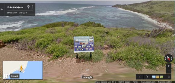
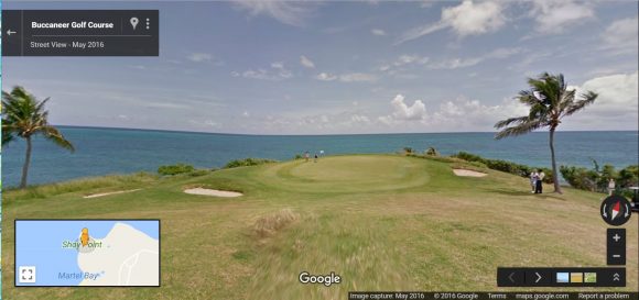
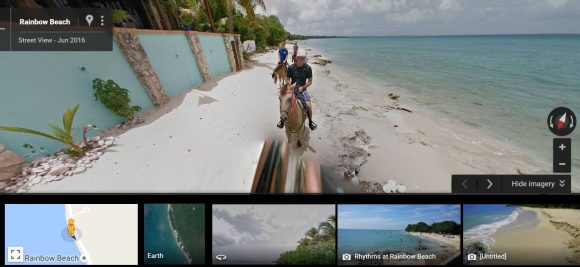
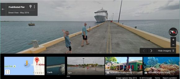
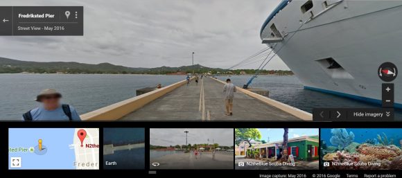
Kirk’s extraordinary volunteer effort has culminated in over 1100 miles driven crisscrossing St Croix – an island that is a mere 26 miles long and 6 miles wide at its widest point. With his Google supplied rig, Kirk spent over 28 days traveling at an average speed of 8.5mph to provide users with a street view of the island – including some super cool, remote spots like the Anally Bay Tide Pools and hiking down to Jacks & Isaac’s Bay. Because of Kirk’s volunteer work, you can now explore these spots from the comfort of your own home prior to arriving on St Croix!
I had the pleasure of spending a weekend morning with Kirk mapping some of the hills nearby my home – hills I’d never explored myself before. Some of the views from up above Christiansted were absolutely breathtaking! Check them out …


Now that Kirk is wrapping up St Croix, the local VI Government and Google are helping him branch out to St Thomas and St John. The street view mapping data will help not only visitors to the United States Virgin Islands, but also the Government of the VI in creating more a more manageable addressing system for first responders like police, fire and ambulance.
To checkout Google Street View on your computer:
- Go to https://maps.google.com or if you want to go straight to the VI check out https://www.google.co.vi/maps/
- Click on the little yellow “Pegman” in the bottom right and drag it over the map location you want to view. A key will pop up, the blue lines are street view!
- Drop Pegman on the street or location you want to explore.

On an iphone or iPad:
- Download the Google Maps app (free)
- Open to the map you want to explore
- Press on the map to drop a pin or tap on a pin that already exists
- Tap on any images with the circular white arrow to navigate Street View
- Hint: tap on the white arrows to explore streets and more!

Next time you’re on St Croix, be sure to map out N2 the Blue in Frederiksted so that you can drop by and say THANKS to Kirk for this incredibly useful volunteer project!